I hope you all took advantage of this gift of incredibly warm weather that coincided with a federal holiday, because that’s going the be the last gasp of mild weather for at least the next 7-10 days. As you probably heard, we are going to get walloped by an arctic airmass the latter half of the week that will bring an abrupt end to fall temperatures and make it feel like we jumped straight into winter – I’m talking high temperatures that won’t even get out of the low 40s by week’s end. Before you ask, no this is not a polar vortex – it will be damn cold nonetheless.
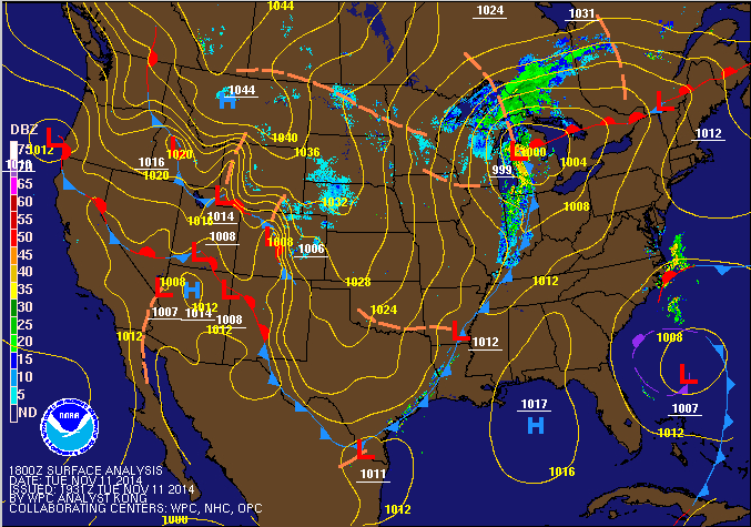
Wednesday – this will be the last day we get above 60 degrees for quite a while. We are currently in a warm sector in between a warm front that pushed through earlier this week and ahead of a cold front that will be open the door to an arctic airmass swinging down from Canada. High temperatures in the Central Plains and Intermountain West where this airmass has already taken hold are ranging from the teens to the 30s. But Wednesday, we’ll still be in the mid-60s, although it won’t be as pleasant as today with a foggy and cloudy start to the day. Once the cold front below passes, clouds should clear quickly and lead to excellent conditions for radiational cooling, with low temperatures dropping into the low 40s and into the 30s in the interior areas north and west.
Thursday – it won’t be that cold just yet, with high temperatures still expected to hit the low 50s. But clouds will again increase ahead of a second, quick-moving storm system that is expected to pass through Thursday night into Friday. This will be the real arctic sledgehammer that brings seriously cold air into the region. There will be enough energy and moisture in the atmosphere for the possibility of rain/snow mix on Thursday night and even all snow in the city Friday morning.
Friday – skies should clear quickly during the day Friday, but despite all the sun, temperatures will struggle to hit the mid-40s. Arctic air will be firmly entrenched from this point on until as long as Thanksgiving!
Saturday – High pressure will be in control Saturday, high temperatures will have a difficult time hitting 40 though, because the setup of the high will favor northerly winds.  Sunday – yet another storm system brings us the chance for some precipitation. Behind that system – you guessed it, more cold air and temperatures that will be two standard deviations below normal for this time of year, as per our local forecast office.
For those of you who are interested in the long-term outlook, based on forecast models and the arctic oscillation index forecast, it looks like this blast of cold air will be sticking around with us for at least the next 7-10 days, and may not break until Thanksgiving. The Arctic Oscillation measures the climate pattern of winds circulating at high latitudes close to the arctic. When it is in it’s negative phase (as is about to be the case, on the right end of all the charts below), higher pressure tends to dominate over the arctic while lower than normal pressure occurs in mid-latitudes (i.e. our area). Air tends to flow from areas of high pressure towards areas of low pressure, so this pattern sets up favorable conditions for the intrusion of bitterly cold air into our region.
