This week starts off with a backdoor front over us, bringing us much cooler temperatures than yesterday, as well as patchy dense fog. Tomorrow, the Canadian maritime airmass responsible for these conditions will be replaced by a warm, moist airmass originating from the Gulf. By mid-week, a passing cold front will usher in seasonable, and dry conditions to the region.
Rest of today – mostly cloudy, cool, with an easterly wind suppressing temperatures, which will top off in the mid-60s.
Tuesday – the backdoor front above will move back north overnight as a warm front. This will allow a transition to a southwesterly flow, which will bring warm, Gulf air into the area. High temperatures should be in the mid-70s amidst cloudy skies, punctuated by periods of rain as a cold front approaches from the west. There is some chance at a couple thunderstorms as well.
Wednesday – when the cold front moves through late Tuesday, it will set up cooler, but pleasant, dry, and sunny conditions on Wednesday. High temperatures around 70.
Thursday – the good weather continues with mostly sunny skies and high temperatures in the low-70s.
An unsettled week is in store for us after a spectacular stretch of warm, sunny conditions this past weekend. The good news is, it looks as though the pattern of rain during the week, but clearing and warm weekends is set to continue.
Tuesday – a high pressure center over New England will swing a backdoor cold front through tomorrow. This will lead to a chance of showers during the afternoon hours, with cloudy conditions otherwise and highs in the mid-upper 70s.
Wednesday – essentially a repeat of Tuesday in terms of sensible weather. A stationary front will sit just south of NYC and allow for an increasing chance of showers and possibly a few scattered thunderstorms. Temperatures will be in the same range as Tuesday.
Thursday will probably bring the best chance of significant showers and thunderstorms coming ahead of an approaching warm front. Cloudy again, with a chance of showers and thunderstorms throughout the day, and a high in the upper 70s.Friday – the warm front mentioned above will slowly progress through the area during the day Friday, once again bringing a chance for showers and thunderstorms, with mostly cloudy skies and highs once again in the upper 70s.
High pressure finally builds in during the day Saturday, which should lead to diminishing clouds, eventually mostly sunny skies for the rest of the weekend, and warmer temperatures in the low 80s.
What fantastic weather for the Memorial Day weekend! We topped off in the mid-80s across the area yesterday, and we’re likely to see another day with temperatures in the mid-upper 80s across the region (esp in interior portions of New Jersey).
Sadly, our stretch of summer-like temperatures is about to come to an end as a backdoor cold front (a front that does not approach from the west like most fronts do over this area) approaches the area from the north. Ahead of this cold front, temperatures are in the mid-80s and there is robust moisture in the atmosphere. This will provide the right ingredients for the possibility of severe thunderstorms later this afternoon and evening.
Possibility of Severe Thunderstorms This Afternoon
Current thinking is that these storms approach the NYC metro around 4-7PM during the evening rush hour. The Storm Prediction Center has placed NYC, western Long Island, Northern New Jersey, and much of the Hudson Valley under a slight risk area for severe weather this afternoon. By the way, slight risk in this context does not indicate that storms which occur will not be that severe, rather, it is denoting that the probability for severe storms is on the low side, and that coverage is not expected to be widespread. Just so you all are clear, the National Weather Service defines a severe thunderstorm as producing one or more of the following:
Wind gusts greater than 58mph
Hail greater than 3/4″ in diameter
A funnel cloud or tornado
A severe thunderstorm or tornado watch means that conditions are favorable over an area for the development of these types of weather hazards, however, no immediate threat has yet been identified. A warning means that a severe thunderstorm or tornado is imminent or already ongoing, which is understandably a much more dangerous situation. Anyway, the most likely threat for our immediate area are damaging wind gusts and hail, although a few isolated tornadic supercells cannot be ruled out.
Storm Prediction Center Day 1 Convective Outlook – we are in the slight risk area highlighted in yellow
Wednesday – by tomorrow, the cold front responsible for the possible thunderstorms later today will have moved through our area, however, there is still a chance for lingering showers on the backside of this frontal boundary. Also, since this is a backdoor cold front, temperatures will be significantly cooler tomorrow than today with an onshore easterly wind keeping high temperatures only in the mid 60s (about 20 degrees cooler than today).
Thursday – an area of high pressure will build into the area, but due to its position to our northeast, it will also continue to usher in onshore easterly/northeasterly winds that will keep our high temperatures below normal in the upper 60s. Otherwise, it will be a nice, sunny day.
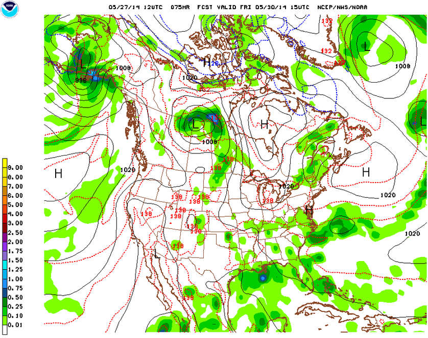
Friday – another cold front will approach the region from the west and bring in the possibility for afternoon showers and thunderstorms. Slightly warmer with cloudy conditions and a high temperature near 70.
Saturday – high pressure will once again build in across the region and remain in place through the weekend. Therefore, am expecting pleasant, sunny conditions with about average temperatures in the mid-70s.
About that meteor shower… so as it turned out, the Camelopardalis meteor showers were a dud. Astronomers may have miscalculated the timing and/or amount of debris accumulated. Hey, it was the first time this particular shower was supposed to go down, so I guess you can’t blame them for not getting it right.


