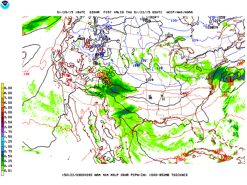
NYC gets brushed by a fast-moving Alberta Clipper system, with the potential for some light accumulating snow across the area Wednesday afternoon and evening. High pressure builds behind the clipper system Thursday and Friday, with high temperatures about average for this time of year. There’s some potential for a coastal storm approaching on Saturday/Saturday night, but with considerable uncertainty at this time, it remains to be seen if this scenario pans out, and if it results in snow or rain or a mix of wintry precipitation.
Wednesday – clouds increasing through the day with high temperatures in the mid-30s. Flurries may develop in the afternoon, however, the bulk of any snow is more likely to occur later in the evening and overnight. Max accumulations of 2″ in the city (1″ is more likely).

Thursday – mostly cloudy day with some snow flurries possibly lingering into the morning. High temperatures around the mid-30s.
Friday – high pressure continues to build over the region with skies clearing and high temperatures again in the mid-30s.
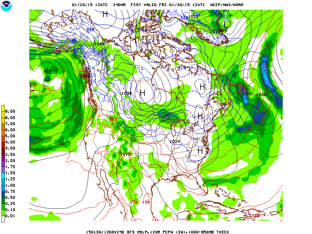
Saturday – forecast models are hinting at a coastal storm for Saturday. Right now, it appears as though the storm track brings the center of the low slightly to the east of the 40ºN 70ºW benchmark. Temperature profiles in the area also appear to be around the freezing mark. This will bear monitoring, as a slight westward jog of the storm track and a cooler temperature profile could result in some significant snow.