Monthly Archives: March 2014

NYC Weekend Weather Update – Mar 29, 2014

If you’re getting ready to venture out this evening make sure to bring an umbrella and wear your rain gear as a heavy rain event is in store for the New York City area. This will be an extended rainfall event leading into Monday. temperatures today will peak at around 50, near normal. The heaviest rain will be falling from approximately 8 p.m. tonight into the overnight hours. Winds will be at around 25-35 mph. Parts of the area are forecast to receive between 1.5″-3″ of rain in the next 48 hours, which could lead to some minor flooding in poor drainage urban areas and small creeks.

So, in general expect conditions to gradually deteriorate through the day and the intensity of rain to pick up. Rain will continue on Sunday, albeit with diminished intensity. Temperatures will hold steady around 50.

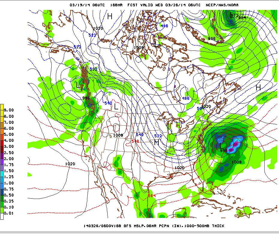
Refer to the diagram below, which represents the North American models guidance for this evening at around 8 p.m. Note the areas of blue and bright blue that correspond to rainfall rates anywhere between .75″ to 1.5″ per hour.

nam-hires_namer_015_1000_500_thickRain will diminish by Monday afternoon as the low pressure center responsible for the heaviest rains moves off to the northeast.

High pressure will move in Tuesday, with a weak cold front moving through later Tuesday. This frontal boundary is not forecast to produce any precipitation. Ahead of this frontal system, we’ll see temperatures rebound to seasonal levels in the mid-upper 50s and partly cloudy skies. Wednesday will likewise be a seasonable day with mild temps near 60.

Light rain is possible Thursday, Friday, and Saturday of next week, but it’s much to early to be certain. GFS model also shows a possible coastal storm for next Tuesday.

NYC Weather Update – Mar 27, 2014

We’re entering into a pattern of active weather through the weekend and into early next week. Today will be dry and pleasant, though well below normal with highs only in the mid 40s.

High pressure will move east of NYC before a cold front approaches from our west on Friday. Southwest flow around the high pressure center and ahead of the frontal boundary will usher in milder, moist air from the southeast. Temperatures on Friday will be near normal in the mid 50s. As the front passes through, expect periodic rain showers throughout the afternoon hours.

Saturday – a second frontal system is forecast to spawn a low that will track offshore of the East Coast, bringing a second round of rain to the area. This round will be heavier than Friday’s, with ample moisture available for the storm to draw on. With the clouds and rain, high temperatures will be suppressed to around 50.

Sunday – there is some uncertainty about how quickly the low impacting us Saturday will exit the region. At this time, it does appear that rain will continue through portions of the day. Should the low be slow to exit, colder air could work into the system allowing for accumulating snow Sunday night! High temperatures Sunday will be in the mid 40s.

Monday – should be a fair day, dry, with high temperatures near normal in the mid 50s. So, even if it snows on Sunday, the snow will melt rapidly. Next shot at precipitation comes with another frontal system Tuesday.

Check out the cumulative quantitative precipitation forecast from the National Weather Service’s Weather Prediction Center for Thursday through Sunday morning. Note that our area is forecast to receive as much as 2.5″ of precipitation through Sunday. Also, there are pockets of as much as 4-6″ of precipitation forecast for the West Coast. For California, that’s some good news as it will help with the drought conditions, but as we saw with Oso, Washington mudslide this much precipitation in such a short span of time can lead to landslides. This is especially the case for Oregon and Washington which are no longer as drought-stricken and soil saturated from previous storms.

Untitled

Below is a NAVGEM forecast model run depicting two storms simultaneously impacting the West Coast and the Northeast on Sunday.

Untitled1

NYC Weather Update – Mar 25, 2014

A very brief update to let you all know the storm will miss us well to the southeast. This will limit snowfall totals to less than 2″ in most areas of the NYC region tonight into Wednesday, with the possible exception of far eastern Long Island.

Thereafter, expecting a general warming trend through the end of the week. Temps will top out in the upper 50s to around 60 by the weekend, when the next frontal system approaches from our west (no more snow, thank God). More detailed forecast to come.

Really Cool Graphic – Frozen Great Lakes

It may be spring now, but it certainly doesn’t look or feel that way for the Great Lakes, most of which are still ice-bound. Superior, Huron, and Erie are still almost entirely covered by ice, while Michigan is less than half covered. The only lake not ice-bound this winter has been Ontario at the far-right. Image from LANCE MODIS taken on March 16th.

You may be wondering why Lake Ontario is the exception to the frosty rule here. Ontario’s average depth is about 283 feet, only Superior has a greater average depth (Erie is the shallowest, so even though it’s further south than Ontario, it’s often the first to freeze). Furthermore, Ontario is located at a lower latitude than Superior and Huron, and it’s relatively smaller surface area maximizes its heat retention.

GreatLakes.A2014075.1830.1km

NYC Weather Update – March Snowstorm? Mar 21, 2014

This is not the news any of us want to hear, but confidence is increasing for a potential late-March snowstorm to impact the NYC area next Tuesday-Wednesday. First, the weekend forecast:

Saturday

A warm front will push through early Saturday followed by a cold front later in the day, with a slim chance for precipitation. After the passage of the warm front, gusty winds will increase from the south and southwest, ushering in some much anticipated spring-like warm air. High temperatures may top 60, but with mostly cloudy skies and the influence of the wind it will feel cooler.

Sunday

Clouds will diminish Sunday, but in the wake of the cold front, temperatures will struggle to hit the low-mid 40s. Polar high pressure continues to build overnight, with low temperatures much below average only in the mid-20s!

Monday

Fair conditions with the polar high in control, temperatures will only be in the mid-30s, nearly 15 degrees below normal for this time of year.

Tuesday and into Wednesday

An area of low pressure forecast to form offshore of the Carolinas will track into our area. Forecast models are pointing to this system rapidly strengthening with a sharp decrease in central pressure as it progresses into the waters off of Long Island. Recent model show a track closer to the 40N/70W benchmark, which increases the potential for a significant snowstorm. However, 5 days out, there’s still a good deal of uncertainty as to final track, positioning of precipitation bands, and available moisture. A track slightly further north will mean increased odds for a significant snow event, while a track too far north or south will diminish these chances.

GFS model showing a strong low pressure center consolidating southeast of Long Island around 1AM Wednesday morning.

Untitled

GEFS model (spaghetti strings show upper air circulation 552mb and 564mb). The two main bunches of the strings represent the polar and subtropical jet streams respectively. Notice the loops connecting the two streams over the our region. This is converging of energy from both streams will feed the rapidly deepening low pressure center.

Untitled2


NYC Weather – Spring Climate Outlook – Mar 20, 2014

Today is the vernal equinox and marks the first day of astronomical spring (because as next week will show, even though it is technically ‘spring’, it won’t feel that way from a weather or climatological perspective).

The equinox denotes the precise date when the sun is directly overhead of the equator at noon. Although it is popularly stated that the equinox is also the date when the length of day and night are equal, this is not necessarily true depending on where you are on the planet. For example, the exact length of daylight for NYC today is 12 hours and 8 minutes, according to astronomical data from Weather Underground. That means the actual equinox for NYC occurred a couple of days ago.

Spring Climate Outlook

This is a good time for us to look ahead towards the forecast climate trends for the United States. Below you’ll see a map showing the Climate Prediction Center’s three-month outlook for both temperature and precipitation. Note that the northern tier of the US is forecast to have anywhere between 33% and 40% chances of a cooler than average spring, while much of the southern and western US is forecast to have between 33% and 50% chances of a warmer than average spring. California in particular is forecast to have 50% chance of warmer than average spring, combined with 33%-40% chance of below normal precipitation, which will be conducive for the persistence of the severe drought in the region.

NYC and the surrounding region is in a zone of equal chances, meaning there’s no strong indication as to whether we’ll have an above, below, or normal spring in terms of both temperature and precipitation.

Untitled

Untitled2

NYC Midweek Weather Update – Mar 19, 2014

Rain is on the way this Wednesday afternoon. Temperatures should be in the mid 40s around the city. We’re not expecting anything too heavy in terms of precipitation, more likely a light, showery type of event.

Here’s an infrared satellite image of the incoming low pressure system that will be our rainmaker today and tonight. Note the classic comma head formation starting to take shape, indicating a low pressure center with a trailing cold front.
Untitled2

Thursday, the first day of spring, will be a dry day, even though the cold front will push through, easterly winds associated with the departing low pressure center will keep overnight temps up. Highs on Thursday should be around 50 with mostly sunny skies.

Friday promises to be another dry day with sunny skies and a high right around average for this time of year at 50.

Saturday another weak low pressure system will move through and bring a chance for rain. The cold front coming along with this low pressure center will have a bigger bite: a polar high pressure will slide down behind this front, leading again to much colder temps Sunday-Tuesday.

By Monday & Tuesday, we’re looking at temperatures only in the upper 30s, nearly 15 degrees below average. A storm system is forecast to form in the Gulf of Mexico and track across the Southeast, moving offshore of the Atlantic Tuesday. There is still uncertainty as to whether we’ll see precipitation, but if we do, temperature profiles will support snow showers/flurries.

Here’s the GFS Model’s forecast for the storm on Tuesday. It will pass well offshore of NYC, but may still precipitation bands may still rotate around it far enough north to impact us.

Untitled1

NYC Weather Update – Mar 17, 2014

We were fortunate to avoid a white Monday, as our friends to the south in NJ, DC, and Philadelphia got hit with between 4-9″ of snow during this last storm. Once again, despite temperatures being cold enough, we missed the area with higher moisture content, and dry air took the day, leading to some light flurries but no accumulation.

Check out the snow total map for the DC, Maryland, Delaware, and Southern NJ region below:

Screen shot 2014-03-17 at 3.18.53 PM

Looking ahead to the rest of the week, it looks like the formal start of Spring will bring a significant warmup for the area.

Tuesday – A sunny day as the departing storm and associated clouds clear out overnight. Good conditions for radiational cooling will mean a cold start to the day with lows in the mid 20s. However, ample sun will boost high temps up to near 40.

Wednesday – the next storm system approaches overnight Tuesday into Wednesday. A low pressure center will pass over the Great Lakes and to our north, with an accompanying trailing cold front. Temps ahead of the cold front will warm up to near normal for this time of year in the upper 40s, near 50. The cold front will bring along light showery precipitation during the afternoon Wednesday. See forecast diagram from the National Weather Service below:

Screen shot 2014-03-17 at 3.12.38 PM

End of the week will feature high pressure over the area with milder temps near the seasonal average of 50, and fair conditions. The next storm system is forecast to enter the area Friday night into Saturday.

Strong Pacific Storm Possible 10 Days

Parts of the west coast continue to see some abatement of drought conditions, with significant improvement for portions of Oregon and Northern California. Nine of twelve GFS model ensemble members are forecasting a strong Pacific storm coming ashore mid-week next week, which is good news for areas that could definitely use the rain. Below are two of the ensemble members. Note the fairly tight isobars denoting pressure, indicating a strong low pressure center.Screen shot 2014-03-17 at 3.11.55 PM

Really Cool Graphic – All Reports of Severe Hail from 1950-2013

Another neat graphic from Storm Prediction Center’s SVRGIS: all reports of severe hail over .25″ in diameter from 1950-2013! Again, note the relative scarcity of severe hail west of the Rockies, but look at the density of hail reports over Mississippi and Georgia. Also, check out the dense patch of hail reports just east of the Front Range in Colorado.
hail