Tag Archives: snowstorm

NYC Weekend Weather – Nor’easter Inbound – Jan 21, 2016

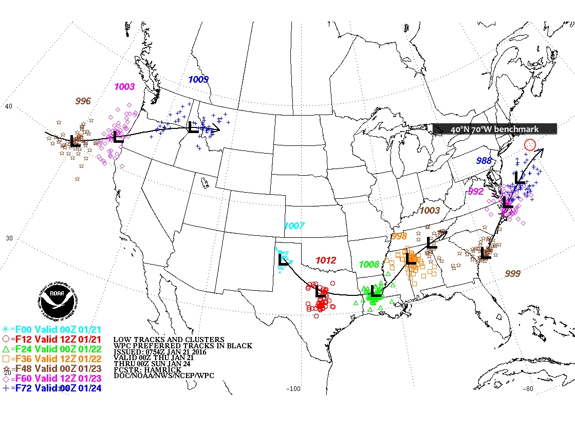
All eyes turn towards this weekend’s Nor’easter which will bring us the most snow we’ve seen since last winter. Confidence is growing that NYC and points south could receive over a foot of snow by Sunday. In addition, forecasters anticipate that this storm will bring sustained winds of 30mph to coastal areas with gusts as high as 40-60mph leading to whiteout blizzard conditions. However, it is important to not, even at this point, 48 hours from the start of this event, that a good deal of uncertainty remains about these forecast snow totals.

Rest of today – mostly clear with high temperatures reaching into the mid-30s but a northwest wind in the 15mph range making it feel colder.

Friday – slightly cooler with highs in the low-mid 30s, clouds I increasing through the day as the headline storm for the weekend approaches.

Saturday – snow should begin falling from southwest to northeast overnight Friday and continue throughout the day Saturday. Sustained northeast winds 25mph-30mph could lead to drifting and blowing snow, making for hazardous teavel conditions. Some potential exists that enough warmer air wraps into the storm off the Atlantic that some areas see a changeover to a rain/sleet/snow mix in the afternoon before transitioning back to all snow Saturday night. Total daytime accumulations are currently forecast between 3-7″. Overnight accumulations could be in the 4-8″ range.

MinSnowWeb
Minimum snowfall for this Nor’easter
StormTotalSnowWeb1
Most likely snowfall totals
MaxSnowWeb
Maximum snowfall possible with this storm


Sunday
– some lingering snow showers are possible Sunday morning but conditions should improve rapidly as cloud cover decreases with the storm exiting to our east. High temperatures are expected to be in the mid-30s.

Monday – warmer with high temperatures in the mid-30s and sunny skies.

Complicating Factors for Forecasting the Nor’easter

  • Model divergence – European models favor a solution that has the storm moving quicker and further south than US based models. This scenario would result in minimal snow for NYC, hence why the minimum snow forecast is only 2″.
  • Unpredictable snow bands – as we are all too aware from last year’s fiasco of subway shutdowns in anticipation for a blizzard that didn’t materialize, when it comes to Nor’easter type storms, where, when, and for how long deformation banding features (heavy bands of snow) set up will make or break a snowfall total forecast in either direction. However, these types of mesoscale banding features are not easy to predict with confidence before they actually start forming. Should parts of our region fall under one of these banding features where snow could be falling at rates of 1″+ per hour, you could easily see total snowfall forecasts be shattered.
  • Intrusion of warm air – if enough warm air works its way into this storm off the warm waters of the Atlantic (where above normal temperatures thus far this winter have kept the sea surface temperatures abnormally warm), then some areas could see a rain/sleet mix for periods of time. Forecasters are overall confident the window for this mixing is small enough that overall totals won’t be dented too much, though.
lowtrack_ensembles
The closer this storm center tracks to the 40ºN 70ºW benchmark, the better the chances become for our are to get a lot of snow. Climatologically, Nor’easters that track closest to this benchmark have been the biggest snowmakers for the NYC region.


NYC Weather Bulletin – Jan 25, 2014 – Major Snowstorm Mon-Tue

Yesterday’s Nor’easter will seem downright quaint by the time Tuesday morning rolls around. Just a couple of days ago, forecasters were not even clear if we’d get any precipitation Monday going into Tuesday. Now, words like “historic” are being used to describe what will undoubtedly be the biggest snowstorm of the season so far. When all is said and done, we could be looking at widespread snow totals on Tuesday of 18″ to as much as two feet of snow. During the peak of this much stronger Nor’easter, high winds and blowing snow could lead to an extended period of blizzard conditions near the coast.

The Setup

Forecast models that up to just 2 days ago were displaying significant differences as to how this system would transpire are now in close agreement on a classic setup for a strong Nor’easter, and a powerful, high-impact blizzard for the Northeast.

A relatively weak clipper-type low will be moving across the Midwest during the day today. By Monday evening, a secondary low will form from the remnants of this first system. This second low will rapidly intensify as it tracks on or just west of the 40ºN 70ºW benchmark early Tuesday morning.

NAM model output for the next couple of days

lowtrack_ensembles

As the low bombs out (dropping more 30mb in less than a day), its forward progress will be slowed by a high pressure to the north. This high pressure over Quebec is a key difference between the setup of the storm on Saturday and this coming Nor’easter. In contrast to Saturday’s storm, this high pressure will allow a relatively deep layer of cold air to take hold prior to the arrival of this storm. As the low pressure continues moving northeast, the pressure gradient between the rapidly intensifying low and this high pressure will allow for strong winds to affect the area from first from the east, then northeast and finally north.

gfs_namer_042_1000_850_thickThis combination of a slow moving, strong low pressure with ample cold air and moisture available will translate to widespread snowfall totals of over a foot, and close to 2 feet, primarily for the Hudson Valley and points east. This will primarily be due to the influence of a mesoscale deformation banding feature is expected to form north of the storm center, then slowly wrap around the storm as it moves northeast. Because the forward motion of the storm will be so slow, the banding feature (which could contain snowfall rates of 2-4″ per hour) could be sitting nearly stationary over large portions of the region for a prolonged period of time – thus leading to what could be record breaking totals.

With the wind expected to pick up during this event, there is a blizzard watch in effect for coastal areas of the region, where wind sustained winds (25-35mph) could lead to near zero visibilities while heavy snow falls.

Snowfall Totals

As you can see from below, almost the entire region is expected to pick up more than 12″, with eastern areas possibly picking up near 2 feet!

StormTotalSnowFcst

Looking at probabilities of snowfall totals below, you can see that there’s now at least a 70-80% chance a good portion of the NYC region receiving more than 8″ of snow.

Screen Shot 2015-01-25 at 1.38.03 PM

This storm will also have ample moisture to draw off of, with the liquid water equivalent of between 1.5″ to over 2″ across a good part of the region. Using the standard 10-1 ratio of snow to liquid water, this would translate to between 15-20″.

Quantitative precipitation total forecasts from the Weather Prediction Center

Timing

Snow will begin Monday, with increasing intensity through the day. Winds  from the northeast will also pick up during the day Monday with high temperatures only in the mid-upper 20s. Anywhere between 1-3″ of snow could fall across NYC.

The heaviest snow will be taking place overnight Monday into Tuesday morning, where parts of the area could pick up another 9-13″. Again, the heaviest snow will be occurring within the mesoscale banding feature, where intense snowfall rates of 2-4″ an hour for a prolonged period of time could even be accompanied by thundersnow. Winds will probably peak during this overnight period.

Snow will continue to fall during the day Tuesday, with another 4-8″ of snow possible. High temperatures will again only be in the upper 20s.

Rest of the Week

Wednesday – snow finally ends Tuesday night with conditions clearing by Wednesday, but high temperatures again struggling to reach the upper 20s.

Thursday – a slightly warmer day with high temperatures in the low 30s.

Friday – there’s a chance at some more precipitation (but much lighter) from a weak low pressure system moving through Friday.


Stunning Satellite Images – Lake Effect Snow

In my previous post, I discussed the ongoing epic and record breaking lake effect snowstorm that’s absolutely pummeled areas of the Great Lakes snowbelts, with the Tug Hill Plateau area south of Buffalo the worst affected. Snowfall totals yesterday were already approaching 6 feet, and this morning, the snow continues to pile up. Check out this series of satellite images and accompanying analysis. These images are simply stunning in how clearly they demonstrate the powerful effects of lake effect snow.

GOES15152014324lZHDhP
Satellite image of the Great Lakes captured by Geostationary Operational Environmental Satellite. You can clearly see bands of lake effect snow streaming across the entire region.

goesedit

Screen Shot 2014-11-20 at 10.46.47 AM
Weather Prediction Center’s analysis of current surface conditions – note the low pressure center over extreme NE Ontario/SW Quebec

A close up of Lakes Erie and Ontario – luckily for these folks, winds will finally begin shifting tomorrow as that low pulls away and winds shift from ideal direction for long fetches across the lakes to the northwest.

GOES15152014324W9zgLU goesedit2

Epic Lake Effect Storm

As you know, I try to stick to local weather, but from time to time, a weather event occurs that you just can’t help talking about. Over the course of the last two days, areas in the snow belts around the Great Lakes have been pummeled by an epic lake effect snow event. The snow belt in the Tug Hill Plateau south of Buffalo has seen the worst of it, with snowfall totals in certain neighborhoods already approaching six feet. And it isn’t over yet!

instagram_direct-wilfuen-857229331053732246_16330055
From Wil Fuentes on Instagram (@wilfuen) – sourced from Time.com

Based on observations from the National Weather Service data, it looks like wide swathes of the area south of Buffalo just got hammered with snowfall ranging anywhere from 36″-60″ (3-5 feet!) of snow.

Screen Shot 2014-11-19 at 6.58.17 PM
Measurements of snowfall around Buffalo – check out that 57″ number south of Elma, NY
ruc_snow_precip_24hr_2014111905_Southern_Great_Lakes
National Snow Analysis from National Weather Service – 35″+ observed in a period of 24 hours!

The snow is so brutal that the Buffalo Bills are scrambling to clear Ralph Wilson Stadium ahead of a scheduled game on Sunday. Lake Effect Snow Warnings are still in force in the area – and there are forecasts of an additional two feet of snow in the next couple days. The NFL may need to move or postpone the game if the Bills can’t get the snow cleared in time. The team is giving away tickets and such to anyone who’ll help dig out.

What is Lake Effect Snow?

Lake effect snow occurs when very cold air flows over a relatively warm body of water. As the cold air blows across the surface of this warmer body of water, it can quickly become saturated with moisture that evaporates (cold air can become saturated quickly because it inherently cannot hold that much water vapor). When this now saturated airmass hits the opposing shoreline, orographic (terrain) forcing causes the air to rise up (leading the airmass to become so cold that the moisture is forced to precipitate out), and provides the energy to spark of often intense, highly localized precipitation events.

This particular event has been so prodigious partially because of the alignment of winds over the surface of Lake Erie. Fetch, or the distance over which air flows across a body of water, greatly influences the severity of a lake effect storm. The longer the fetch, the more time the air has to pick up moisture off the water. In this case, the water temperature of Lake Erie is still relatively warm since air temperatures have not been that cold yet, and the winds are oriented such that the fetch is maximized over the surface of the lake (from west-southwest to east-northeast). Conditions should improve rapidly by Friday as high pressure over the Central Plains moves to the east and winds shift to the northwest.

Screen Shot 2014-11-19 at 7.30.44 PM

NYC Weather Update – March Snowstorm? Mar 21, 2014

This is not the news any of us want to hear, but confidence is increasing for a potential late-March snowstorm to impact the NYC area next Tuesday-Wednesday. First, the weekend forecast:

Saturday

A warm front will push through early Saturday followed by a cold front later in the day, with a slim chance for precipitation. After the passage of the warm front, gusty winds will increase from the south and southwest, ushering in some much anticipated spring-like warm air. High temperatures may top 60, but with mostly cloudy skies and the influence of the wind it will feel cooler.

Sunday

Clouds will diminish Sunday, but in the wake of the cold front, temperatures will struggle to hit the low-mid 40s. Polar high pressure continues to build overnight, with low temperatures much below average only in the mid-20s!

Monday

Fair conditions with the polar high in control, temperatures will only be in the mid-30s, nearly 15 degrees below normal for this time of year.

Tuesday and into Wednesday

An area of low pressure forecast to form offshore of the Carolinas will track into our area. Forecast models are pointing to this system rapidly strengthening with a sharp decrease in central pressure as it progresses into the waters off of Long Island. Recent model show a track closer to the 40N/70W benchmark, which increases the potential for a significant snowstorm. However, 5 days out, there’s still a good deal of uncertainty as to final track, positioning of precipitation bands, and available moisture. A track slightly further north will mean increased odds for a significant snow event, while a track too far north or south will diminish these chances.

GFS model showing a strong low pressure center consolidating southeast of Long Island around 1AM Wednesday morning.

Untitled

GEFS model (spaghetti strings show upper air circulation 552mb and 564mb). The two main bunches of the strings represent the polar and subtropical jet streams respectively. Notice the loops connecting the two streams over the our region. This is converging of energy from both streams will feed the rapidly deepening low pressure center.

Untitled2