Monthly Archives: February 2016

NYC Weather Update – Feb 29, 2016

This week opens up with some very mild and spring-like weather. March will arrive like a lamb for sure. However, following a storm system moving through Wednesday, temperatures will cool off to below normal levels, with a possibility for some snow Friday! This kind of highly variable weather is typical for spring, which officially starts in just under 3 weeks time.

Rest of today –  a line of showers associated with a cold front passed through this morning and has moved well off to the east of the city. Skies have cleared up, and temperatures are rising steadily into the upper-50s. Would not be surprised to see some areas top 60ºF this afternoon.

Tuesday – despite the passage of a cold front today, temperatures don’t cool off too much tomorrow. Mostly sunny skies should yield temperatures slightly above normal in the upper-40s.

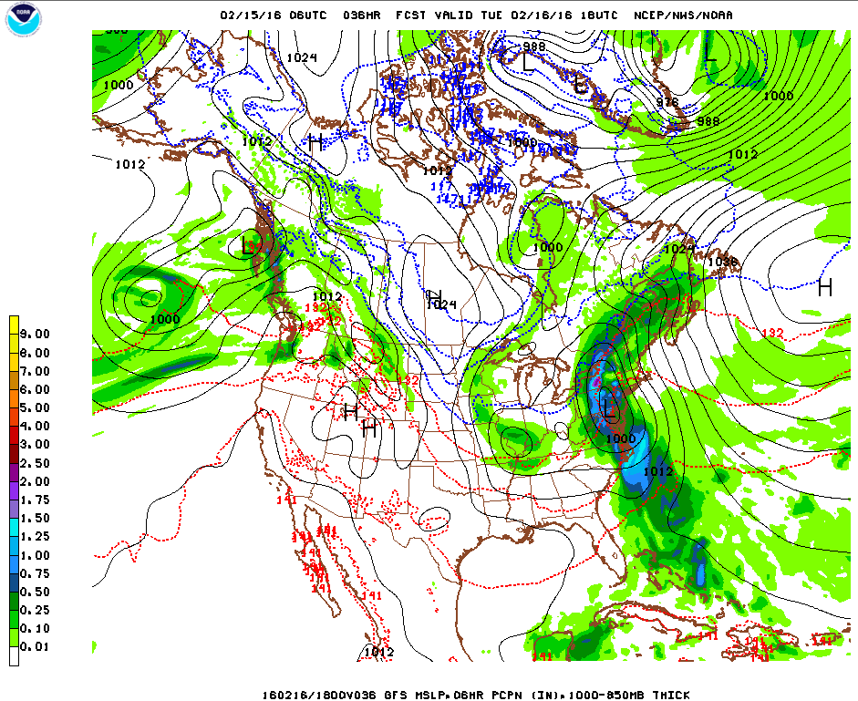
Wednesday – the next storm system moves in overnight Tuesday into Wednesday. The low pressure center responsible for this storm is forecast to pass almost directly over the region early Wednesday morning. As it approaches, it will pull in warmer air from the south into its counterclockwise cyclonic flow, which will result in temperatures actually warming up overnight into the upper-40s. Temperatures will peak  Wednesday morning around 50ºF, accompanied by periods of rain. Rain should be dissipating by 2PM in the afternoon.

Screen Shot 2016-02-29 at 1.28.36 PM

Thursday – following the passage of the low pressure above, temperatures will cool off into the upper-30s fro Thursday under mostly sunny skies.

Drought Ends

The last couple months have delivered sufficient snow and rain to bust the moderate drought that had been persisting over the NYC metro area, in particular on Long Island. This is excellent news for farmers and gardeners throughout the region ahead of the upcoming growing season.

20160223_NY_trd


NYC Weekend Weather – Feb 26, 2016

The main weather story this weekend will be a rather dramatic swing in temperatures. We start the weekend off with below normal temperatures and highs only in the upper-30s. By Monday, temperatures are forecast to reach into the mid-50s. The best day of the weekend will be Sunday with ample sunshine and mild highs in the low-50s.

Rest of today – sunny, with a cool northwest wind in the 20-25mph range, which will make it feel like the upper-20s with an actual high temperature in the upper-30s.

Saturday – winds abate and but temperatures remain cool in the upper-30s despite plenty of sunshine.

Sunday – a world of difference with temperatures topping out in the low-mid 50s.

High pressure to the south with a frontal boundary to the west leads to warmer air flowing from the southwest

Monday – continuing a mild trend with temperatures in the mid-50s and mostly sunny skies.

NYC Weather Update – Feb 22, 2016

This week features an active weather pattern with precipitation possible from Tuesday evening through parts of Thursday. Temperatures start off below normal before rising above normal for Wednesday and Thursday, then finally dropping below normal again to end the week. A cooler than normal trend will persist into the beginning of March.

Rest of today – mostly clear with high temperatures in the mid-upper 40s.

Tuesday – the weaker of two storm systems to affect the region this week will approach from the south. Chances for precipitation will increase through the afternoon and become likely overnight. Temperature profiles at the start of the event will support light rain/snow mix before transitioning to all rain for the city overnight. High temperatures should top off in the upper-30s.

Wednesday – rain likely throughout the day, increasing in coverage and intensity through the morning into the afternoon. High temperatures will be warm in the upper-40s.

Thursday – the heaviest rains with this storm system are forecast to occur during the overnight hours Wednesday going into Thursday. Showers are still possible Thursday morning with most precipitation ending during the afternoon. A warm front will pass Wednesday night, which will help support mild temperatures in mid-50s.

Screen Shot 2016-02-22 at 12.30.36 PM

Friday – a trailing cold front from the storm above passes through late Thursday, and in the wake of this cold front, skies will start clearing Friday with temperatures cooling off, and highs only around 40ºF.

Cooler to End February

A cooler than normal temperature trend is likely to occur to end the month and to start March.

610temp.new 814temp.new


NYC Weekend Weather – Feb 18, 2016

This weekend will be uneventful in terms of sensible weather, and will stand in stark contrast to last weekend in terms of temperatures. As you’ll recall, we had high temperatures last Sunday around 10ºF – this Sunday high temperatures may be 40ºF warmer than that, near 50ºF. Looking ahead, though, there is a chance for a mid-week storm next week, and it would appear that there’ll be another downward temperature trend to end the month, perhaps lasting into the beginning of March as well.

Rest of today – sunny skies belie cold temperatures with highs only hitting the mid-30s today.

Friday – about the same in terms of temperature, but with increasing clouds throughout the day as a warm front approaches from the west. There may be some scattered rain during the overnight hours going into Saturday, although the bulk of this storm system is expected to pass well to the north.

Saturday – much warmer with southwesterly flow behind the warm front referenced above. High temperatures expected to be around 50ºF with mostly sunny skies.

noaad3

Sunday – slightly cooler with high temperature in the upper-40s.

Monday – increasing clouds with high temperatures in the mid-upper 40s.

Cooler to End the Month

Looking ahead to next week, temperatures are expected to be just about normal to perhaps a little below, which would mean about 35-40ºF.

610temp.new

NYC Weather Update – Feb 15, 2016

After a brief deep freeze, we’ll see a significant change in the weather with a complex storm system that will affect the area to start the week, bringing a mix of precipitation along with much warmer temperatures. Things quiet down by mid-week, and temperatures moderate towards more normal levels.

Rest of today – cloudy with temperatures rising into the low-mid 30s. Flurries have already begun falling in some parts of the city. Snow will become more steady and increase in coverage during the course of the afternoon. For those of you who do not have the day off, it’s shaping up to be a messy commute with snow transitioning to a wintry mix, with periods of freezing rain during the evening commute. Prior to the transition from snow, areas along the coast could pick up 1-2″ of snow, with higher totals in the interior north and west.

Screen Shot 2016-02-15 at 9.10.38 AM

Tuesday – after a brief dip in temperatures early on during the overnight hours, temperatures will actually start increasing as a warm front passes through. Since the ground itself is still quite cold due to the deep freeze this past weekend, freezing rain and wintry mix will still be lingering around until temperatures start to climb well into the mid-upper 30s. At that point, we’ll transition over to all rain, and periods of moderate to heavy rain will likely affect the area Tuesday afternoon into the evening hours as a cold front pushes through. Temperatures will be very warm Tuesday, with highs topping out in the mid-50s – 15-20ºF above normal for this time of year.

96fndfd_init_2016021500

Wednesday – high pressure starts to build back in after the storm system moves out Tuesday. Temperatures cool off back into the mid-40s, with clearing skies.

Thursday – cooler, with high temperature around 40ºF and sunny skies.


NYC Weekend Weather – Feb 11, 2016

The weather headline for this weekend will be bitterly cold temperatures that may have you reconsidering any plans to be outdoors during Valentine’s Day. The incoming airmass will definitely be the coldest of the year and the season thus far. The good news for us is that this Arctic airmass does not stick around for long, with temperatures expected to rebound nicely by early-mid week next week.

Rest of today – will be a preview of the cold coming our way with temperatures only topping out in the upper-20s. Scattered snow showers are possible (some of these snow showers are actually remnants of lake effect snows occurring hundreds of miles to our north and west). With west winds blowing in the 20-30mph range, wind chill will make it feel like 15-20ºF out there.

Friday – an Arctic cold front swings through overnight into Friday. Overnight lows will be in the upper-teens in the city and in the low-teens further north and west. High temperatures should rest in the mid-20s with increasing cloud cover as another impulse of energy makes its way in for Saturday.

Saturday – there will be a slight chance for snow showers overnight Friday into Saturday. Low temperatures will be only in the mid-teens, and with winds expected to pick up, wind chill values will hover in the single digits. Daytime highs Saturday will struggle to break 20ºF in the city. Northwest winds 25-30mph will lead to wind chills again only in the teens. As an impulse of energy pushes through Saturday morning, there may be some scattered snow showers before skies clear and things dry out.

99fndfd

Sunday – overnight lows Saturday into Sunday are going to be the coldest we’ve seen all year, with a low temperature in the city forecast at a mere 2ºF! Wind chill advisories will likely be posted for this period, with widespread below zero wind chills likely. Temperatures don’t rebound much during the day Sunday, with high temperatures only in the upper-teens.

Monday (President’s Day) – this is when the recovery in temperatures begins with high temperatures expected to go back up to around freezing. The next storm system looks like it will be moving through Tuesday, but it will also be accompanied by a much warmer airmass.

Warming Up Next Week

40ºF doesn’t sound all that warm, but you’ll welcome that next week as we see a return to above normal temperatures.

610temp.new

NYC Weather Update – Feb 8, 2016

The groundhogs may end up being right, and we could get an early spring this year, but winter won’t be relinquishing its grasp this week. Multiple storms will be impacting the area throughout the first half of the week, resulting in multiple rounds of snow up through Wednesday. Luckily for us, this snow is expected to be mostly on the light side for NYC, although areas east of the city could be getting 8-10″ of snow just with today’s storm. So, if you like winter weather, and snow that you don’t have to shovel, this is your week.

Rest of today – snow showers have started falling over the city in the last hour or so. Light accumulations of 2-3″ maximum are expected in the city, with much higher totals as you move east. The city is only going to get brushed by the western fringe of this coastal storm that’s passing, and snow should taper off by 1PM today. In a very similar setup to last week’s storm, areas east of the city will get the bulk of the snow today. Temperatures will be gradually dropping during the day into the low-30s with evaporative

Screen Shot 2016-02-08 at 10.12.23 AM

Tuesday – a second storm system forms offshore of the Mid-Atlantic overnight, and spins up another round of snow for us tomorrow. Snow should start falling after daybreak, with another 1-2″ possible here in the city. High temperatures should top out in the low-30s.

Wednesday – unsettled weather continues Wednesday with the potential for more light snow during the day, although temperatures could be a little warmer in the upper-30s.

Thursday – things finally start calming down with the chances for snow diminishing, though skies will still be cloudy with high temperatures near freezing.

After Thursday, we are expecting a deep freeze with the passage of an Arctic front going into the weekend.

610temp.new

NYC Weekend Weather – Feb 4, 2016

We have had a very warm start to the month of February, and it sure does feel like the groundhogs were right that there will an early spring. Even if that is to be the case, we are still technically in the depths of winter, and the weather over the next couple of weeks will remind us of that fact. The end of this week and this weekend will be relatively quiet on the weather front, but looking ahead at the beginning of next week, there is a potential for a coastal storm that could bring us some more snow.

Rest of today – mostly cloudy with some breaks of sun, warm but with temperatures dropping through the 50s during the day.

Friday – the cold front that passed through yesterday will stall out at sea, but close enough to us that another impulse of low pressure moving along it could bring some light snow to southern and eastern portions of the NYC region. Light, wet, accumulating snow is possible for NYC and Long Island. Depending on the storm track, some areas of eastern Long Island could pick up 3″, while areas west closer to the city see a coating to an inch overnight. During the day Friday, temperatures will cool off noticeably into the low-40s and the winds will pick up as skies clear.

Screen Shot 2016-02-04 at 9.40.55 AM

Saturday – a nice day, with mostly sunny skies and highs in the low-mid 40s.

Sunday – essentially a clone of Saturday in terms of sensible weather, mostly sunny, highs in the low-mid 40s.


Cooling Off the Next Couple Weeks

It is technically supposed to be the coldest stretch of the year climatologically, so it makes sense that there should be some cooler temperatures coming. In fact, Climate Prediction Center does have normal to below normal temperatures (normal would be in the mid-30s) for the area the next couple of weeks.

610temp.new 814temp.new

NYC Weather Update – Feb 02, 2016

The calendar says it’s February, but you’d be forgiven for thinking otherwise with temperatures soaring well into the upper 50s this afternoon. The warm trend continues through the middle of this week, when a potent storm system that will be bringing blizzard conditions to some parts of the Midwest (including Iowa, where caucus turnouts may be adversely impacted) passes through the area. Looking ahead, a cool down is on the way, as is the potential for another coastal storm on the day after the Super Bowl. At this time, thermal profiles are not looking conducive for snow, but as we all saw from the last storm, things could very well change as this storm system evolves.

Rest of today – quite warm, with high temperatures well in the upper 50s under mostly cloudy skies. Periods of light rain look to persist as a cold front makes its way across the area this evening, though it appears most of the precipitation should end by 7PM this evening.

Screen Shot 2016-02-01 at 4.11.16 PM
High Resolution Rapid Refresh model output for 7PM EST

Tuesday – with the cold front passing through tonight, temperatures will moderate tomorrow, dropping into the upper 40s under mostly clear skies.

Wednesday – a complex and potent storm system that will be impacting the Midwest the next couple days will make its way into the region Wednesday. A warm front will pass over our area prior to the passage of a cold front. As we enter the warm sector between these two frontal boundaries, we’ll see a surge of warm air and moisture from the south. This may even lead to a couple isolated rumbles of thunder during the afternoon. Otherwise, expect mostly cloudy skies with showers throughout the afternoon into the evening hours. High temperatures will be quite warm, again approaching 60ºF – and possibly surpassing this mark.

98fndfd_init_2016020112

Thursday – just like tomorrow, once the cold front above pushes through the area, temperatures will again cool off back into the upper 40s (which is still about 10ºF above normal), and skies will clear.