Monthly Archives: March 2016

NYC Weather Update – Mar 28, 2016

There will be a wet start and end to this week, with some fairly dramatic swings in temperatures in between as two storm systems affect the tangible weather across our region.

Rest of today – rain is tapering off across the region and there should be a slow clearing late in the day. High temperatures in the mid-50s.

Tuesday – the low pressure responsible for the wet weather today will strengthen as it departs to the northeast. The tightening pressure gradient will allow for stiff west winds to sweep across the area, in the 25-30mph range with gusts as high as 50mph. High temperatures will be about average in the low-50s with mostly sunny skies.

94fndfd_init_2016032812

Wednesday – winds will diminish overnight Tuesday into Wednesday. With high pressure in place, this will set the stage for excellent radiational cooling that will allow for temperatures to plummet into the mid-30s and below freezing outside of the city. Temperatures should rebound back into the low-mid 50s during the day Wednesday.

Thursday – winds will switch to the southwest and temperatures will warm up into the mid-60s, despite increasing cloud cover. A chance of rain develops later in the afternoon with the approach of a cold front.

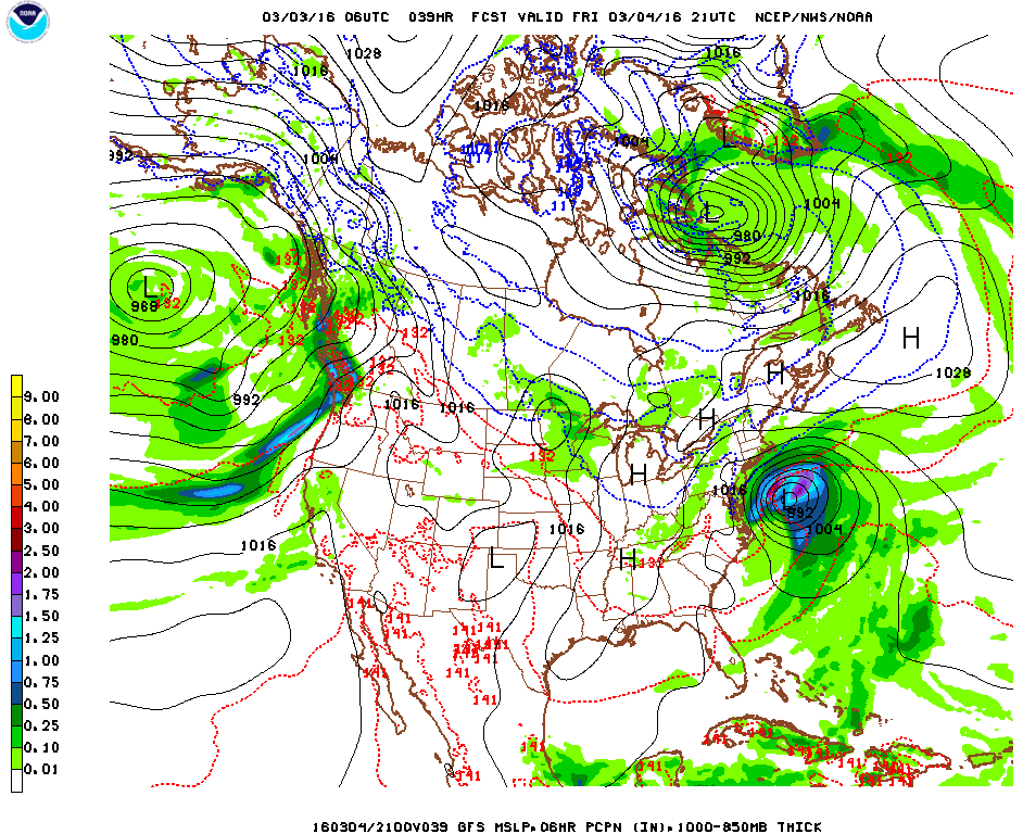
Friday – rain is likely for the first half of the day with temperatures about the same as Thursday in the mid-60s.

Screen Shot 2016-03-28 at 1.00.12 PM


NYC Weekend Weather – Mar 25, 2016

Easter weekend will be bookended by wet weather, but the weekend days themselves should be dry with temperatures around average for this time of year.

Rest of today – an earlier round of showers passed through earlier this morning. Another round of showers and scattered thunderstorms will pass through the region along with a cold front in the afternoon hours. It appears that there will be a good chance for rain between the hours of 12PM-6PM, after which skies should gradually clear.

Screen Shot 2016-03-25 at 10.07.06 AM

Saturday – a cooler airmass will take over following the cold front today, so temperatures to start on Saturday will only be around 40ºF. Under mostly sunny skies, the high temperature should still hit normal levels in the low-50s.

Sunday (Easter) – clouds will be on increase for Easter, though no rain is expected. High temperatures will range in the mid-50s.

Monday – our next shot at rain arrives Monday with a warm front and a low pressure system moving up the eastern seaboard. Temperatures will be a bit warmer, in the upper-50s.

9jhwbg_conus

NYC Weather Update – Mar 21, 2016

February 2016 resolutely smashed previous records for the largest deviation above normal temperatures for any given month (which was previously set in January 2016). Thus far, March has yielded temperatures more typical of late-May, and also two instances of late season accumulating snows. This week, the weather warms up again, and there’s certainly no snow on deck.

Rest of today – clouds have largely cleared out with the passage of last night’s coastal storm that left behind some marginal accumulations across the region, the highest totals occurring quite a ways east of the city, but capped at only about 3″. There will be no trace of the snow by this afternoon as temperatures warm into the upper-40s.

Tuesday – very similar to today, with high temperatures in the upper-40s and mostly sunny skies.

Wednesday – winds turn to the southwest ahead of an advancing frontal boundary that will pass late Thursday/Friday, allowing temperatures to surge into the low-60s with increasing clouds.

Thursday – tricky temperature forecast due to the timing of approach of the aforementioned frontal boundary. If that boundary is a bit slower than current forecasts or lifts further north, we could see temperatures well into the 60s. Temperatures should be quite mild in the mid-upper 50s even outside of this scenario.

Friday – the next chance at rain and possibly a couple of thunderstorms occurs late Thursday into Friday morning with the anticipated passage of a cold front. Despite the passage of this front, temperatures will still be well above average in the upper-50s.

Screen Shot 2016-03-21 at 1.17.11 PM


NYC Weekend Weather – Mar 17, 2016

Meteorologically, March is a month of highly changeable weather that can swing from one extreme to another. Thus far this month, we’ve seen snow, and record warm temperatures near 80ºF. This week is no different, and it ends with the possibility for a significant coastal storm that could bring accumulating snow to the region to ring in the official start of spring!

Rest of today – warm, with partly sunny skies and high temperatures in the mid-60s. An unstable atmosphere looks primed to spawn a few scattered thunderstorms. Atmospheric dynamics are supportive of strong wind gusts and possibly small hail with any storms that form this afternoon. Some of these storms could approach severe limits. Based on the latest High Resolution Rapid Refresh model output, there look to be two batches of storms, one impacting the region around 2PM, then again around 5:30PM. At the time of this post, two storm cells were moving slowly east over southern Bergen County and the western Bronx respectively.

Screen Shot 2016-03-17 at 12.39.22 PM

Friday – temperatures cool off into the low-mid 50s tomorrow, with a slight chance again for some afternoon showers, though nothing quite as significant as today.

Saturday – an area of polar high pressure will move over southeastern Canada, setting the stage for the winter storm Sunday. Saturday, however, will be a pleasant, sunny day, but temperatures will be below average in the low-mid 40s.

Sunday – all eyes turn to a developing coastal storm/Nor’easter. Forecast models are having a rough time handling this storm, with wide variances noted among some of the models from day to day. Given the uncertainty at this time, only a couple days before the expected onset of the storm, it is difficult to guess at the snowfall accumulations from this storm. One thing that is well understood at this point is that temperature profiles will support a primarily snow event, with some rain mixing in at the coast. High temperatures Sunday will struggle to hit 40ºF. Snow should begin in the morning, mixing with rain in the afternoon Sunday afternoon before transitioning again to all snow overnight. A slight variation in the forecast storm track either west or east could result in dramatically different snowfall totals – more updates to come.

Screen Shot 2016-03-17 at 12.40.16 PM

Monday – temperatures rebound back into the mid-40s under partly sunny skies following the passage of this late season snow storm.


NYC Weather Update – Mar 14, 2016

After a week of being spoiled with late-Spring warmth, we start this week off with a rude awakening of below average temperatures and a rainy, raw day. Temperatures rebound back into above normal ranges quickly, but they won’t be anything like the record-breaking warmth we experienced last week. St. Patrick’s Day looks to be a decent day – at least from a meteorological perspective.

Rest of today – most of the heavier rain has already moved north and east of the area, but lingering showers will punctuate dry spells for the remainder of the day and into the overnight hours. These won’t be the kinds of downpours that get you wet even when you have an umbrella. Combined with a persistent east wind, these showers will be enough to make it feel raw and unpleasant for the day. High temperatures will be below average – only be in the mid-40s with this onshore easterly flow off the ocean.

Tuesday – rain ends early, leaving us with a mostly cloudy day with patchy fog, and a high temperature in the low-mid 50s.

Wednesday – best day of the week by far, as temperatures will rise into the upper-50s to low-60s across the area with partly sunny skies.

Thursday (St. Patrick’s Day) – this day should turn out decently for revelers as temperatures should again be close to 60ºF, however, there is a chance of passing showers in the afternoon.

Screen Shot 2016-03-14 at 10.45.10 AM


NYC Weekend Weather – Mar 10, 2016

Another day of near record or record breaking temperatures is on tap for the region as a highly anomalous stretch of warm weather continues. Yesterday, Central Park hit 77ºF, shattering the old record of 69ºF set in 2000 by nearly 10ºF. Looking ahead, temperatures will moderate somewhat over the weekend, but will remain 10ºF+ warmer than normal for this time of year in the upper-50s to low-60s. We spring forward an hour into Daylight Savings Time on Sunday.

Rest of today – temperatures at this hour were already well into the upper-60s and just over 70ºF across the region. Today would easily be warmer than yesterday if not for the fact that current satellite trends suggest that widespread cloud cover will be moving in over the next couple of hours. Areas that experience more breaks in cloud cover today could break some records. Rain will develop, first to the north, then push through the whole area overnight tonight.

Screen Shot 2016-03-10 at 9.41.52 AM

Friday – clouds should clear up steadily through the day Friday. A cold front will move through, and will cause high temperatures to dip by about 10ºF compared to today, yielding highs in the low-60s, but that will still be over 10ºF above normal for this time of year.

Saturday – high pressure from the north takes control and gives us a beautiful, sunny day with high temperatures near 60ºF.

Sunday – similar temperatures to Saturday, but with increasing clouds as the next storm approaches the area.

Monday – cooler with high temperatures in the low-50s and rain.

Warm Trend Continues to Late March

Looking ahead, temperatures are forecast to continue at above normal levels through the majority of March.

610temp.new 814temp.new

NYC Weather Update – Mar 7, 2016

Although spring is still technically two weeks away, it certainly will not feel that way this week with some very warm weather coming our way. The warm temperatures appear to persist well into the latter part of this week, and onwards into the weekend.

Rest of today – a sunny preview of things to come this week with temperatures in the mid-50s.

Tuesday – the warm up begins with high temperatures easily reaching 60ºF in the city despite clouds.

Wednesday – as high pressure moves off of the East Coast, clockwise return flow on its western edge brings with it a surge of warmer air, allowing temperatures to soar into the upper-60s (probably topping 70ºF in the city also), breaking some daily records especially in interior regions.

Screen Shot 2016-03-07 at 10.24.09 AM

Thursday – a weak disturbance moves through late in the day on Thursday, but temperatures will remain warm in the upper-60s prior to this disturbance’s passage.

Friday – following the passage of the disturbance above, we get somewhat of a cool down, with high temperatures dropping 10ºF into the upper-50s on Friday. This is still well above normal for this time of year though!

Spring Warms Up Early

Looking ahead, Climate Prediction Center models suggest a high likelihood of above average temperatures for the entire Eastern United States in the 1-2 week range.

610temp.new 814temp.new


NYC Weekend Weather – Mar 3, 2016

As we approach spring, the weather has a tendency to swing wildly between different extremes. We start this forecast period off with accumulating snow, while by this time next week, we are expecting temperatures in the 60s!

Rest of today – mostly sunny, but cool with below average high temperatures in the upper-30s.

Friday – overnight tonight into the first half of Friday, our area will get impacted by the northern fringe of what is expected to be a powerful coastal storm. Lucky for us, high pressure north of us is sufficiently strong so as to prevent this storm from hitting us dead one, which would certainly result in a more significant snowfall event. In this case, we are expecting to see snow in the range of 1-2″ across the city and Long Island with lesser amounts further north and west. Temperatures will remain colder than nom

Screen Shot 2016-03-03 at 10.17.46 AM


StormTotalSnowWeb1

Saturday – high pressure takes control with skies clearing and temperatures in the low-40s. Another slight chance for snow Saturday night accompanies the passage of a clipper system.

Sunday – partly sunny with highs around average in the low-mid 40s.

Monday – temperatures start to warm up as the high pressure moves offshore to the east and warm, southwesterly return flow circles clockwise around its western periphery. High temperatures in the low-50s.

Warming Trend Ahead

With the aforementioned high pressure center offshore in the Atlantic early to mid-week next week, we’ll see increasingly warm temperatures, up into the 60s by Wednesday. This warm trend looks to continue over the course of the next week, with a brief cooldown late next week before what should be a warm weekend next week.

610temp.new 814temp.new