Rain moves through tonight, and then temperatures warm through the course of the week as a Bermuda high takes control. There’s a chance for showers and thunderstorms Thursday – otherwise this week will certainly feel like summer.
Rest of today (Independence Day) – increasingly cloudy, with a high near 85ºF. Forecasts last week seemed to indicate a rain-free weekend outside of Friday night when we experienced some severe thunderstorms. It now appears that an area of low pressure tracking to our south will bring rain to the area tonight. Currently, the timing of the rain appears to bring it in the city right around the time that the fireworks display is scheduled to kick off. The heaviest rain won’t begin falling until later tonight, so I don’t think this will wash the fireworks out, but it will result in less than ideal viewing conditions if you plan on being outside at the display.

Tuesday – steady rains should end by the morning rush tomorrow, though a lingering shower could pop up till around noon. Decreasing clouds with high temperatures in the mid-80s.
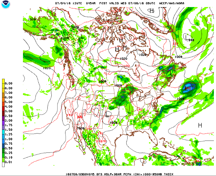
Wednesday – temperatures heat up into the low-90s, with dewpoints holding steady in the mid-upper 60s, it will feel like August. A Bermuda high will take hold through the end of the week, which could bring our first heat wave of the season.

Thursday – mostly sunny with a chance of thunderstorms developing late in the day. High temperatures around 90ºF.